


Platte Precinct, Butler County, Nebraska
About
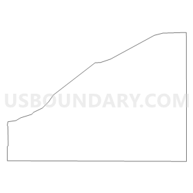
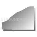
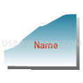
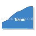
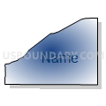
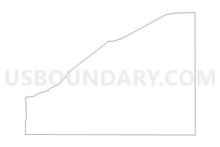
Outline
Summary
| Unique Area Identifier | 612520 |
| Name | Platte Precinct |
| County | Butler County |
| State | Nebraska |
| Area (square miles) | 18.17 |
| Land Area (square miles) | 17.22 |
| Water Area (square miles) | 0.95 |
| % of Land Area | 94.80 |
| % of Water Area | 5.20 |
| Latitude of the Internal Point | 41.41687240 |
| Longtitude of the Internal Point | -96.95168300 |
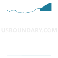
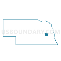
Maps

Graphs
Select a template below for downloading or customizing gragh for Platte Precinct, Butler County, Nebraska


Neighbors
Neighoring Voting District (by Name) Neighboring Voting District on the Map
- 1 Precinct, Colfax County, NE
- Bone Creek Precinct, Butler County, NE
- Linwood Precinct, Butler County, NE
- Prague Precinct, Saunders County, NE
- Ridgely-Union-Cotterell Precinct- Pleasant Valley, Dodge County, NE
Top 10 Neighboring County Subdivision (by Population) Neighboring County Subdivision on the Map
- Schuyler precinct, Colfax County, NE (402)
- Bone Creek township, Butler County, NE (358)
- Union township, Dodge County, NE (253)
- Linwood township, Butler County, NE (243)
- Rogers precinct, Colfax County, NE (194)
- Platte township, Butler County, NE (173)
- Bohemia township, Saunders County, NE (165)
Top 10 Neighboring Place (by Population) Neighboring Place on the Map
Top 10 Neighboring Unified School District (by Population) Neighboring Unified School District on the Map
Top 10 Neighboring State Legislative District Upper Chamber (by Population) Neighboring State Legislative District Upper Chamber on the Map
Top 10 Neighboring 111th Congressional District (by Population) Neighboring 111th Congressional District on the Map
Top 10 Neighboring Census Tract (by Population) Neighboring Census Tract on the Map
- Census Tract 9648, Colfax County, NE (6,516)
- Census Tract 9682, Saunders County, NE (5,485)
- Census Tract 9676, Butler County, NE (3,327)
- Census Tract 9637, Dodge County, NE (2,588)
- Census Tract 9647, Colfax County, NE (1,774)